Updated September 2026
Santa Barbara's red-tile roofline, its four-story skyline, and its mile-long wooden wharf all trace back to specific decisions, and a few disasters, that most visitors never hear about and plenty of longtime residents only half-remember. A 1925 earthquake rewrote the city's building code, an offshore oil field has been leaking since long before recorded history, and a private neighborhood still refuses to install a single streetlight. Anyone who has spent real time here, buying a home, walking State Street at dawn, or asking a longtime local why the roofs all match, eventually runs into these stories.
Key Takeaways
- A 1925 earthquake destroyed much of downtown and led the city to require Spanish Colonial Revival architecture, a rule still enforced today.
- Santa Barbara has capped building heights since the 1930s, which is why the skyline still tops out around four stories.
- The Santa Barbara Channel off Goleta hosts one of the largest natural oil seeps on Earth, active for roughly 500,000 years.
- Stearns Wharf, built in 1872, predates the Golden Gate Bridge by more than sixty years and is the oldest working wooden wharf in California.
- Hope Ranch and Old Mission Santa Barbara each carry a piece of local history that still shapes how the area looks and functions today.
A 6.8-Magnitude Earthquake Designed the City Everyone Sees Today
Santa Barbara's Spanish Colonial Revival look exists because of an earthquake that flattened much of downtown on June 29, 1925. The quake struck at 6:42 a.m. and lasted only 18 seconds, but it damaged 411 commercial and government buildings, left 74 of them total losses, killed 11 people, and injured 65 more. Charles Richter initially measured it at 6.3 in 1935; later analysis of the damage patterns puts it closer to 6.7 or 6.8. The Sheffield Dam above the city also failed that morning, sending 45 million gallons of water down Sycamore Canyon.
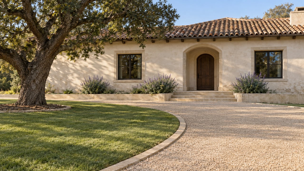
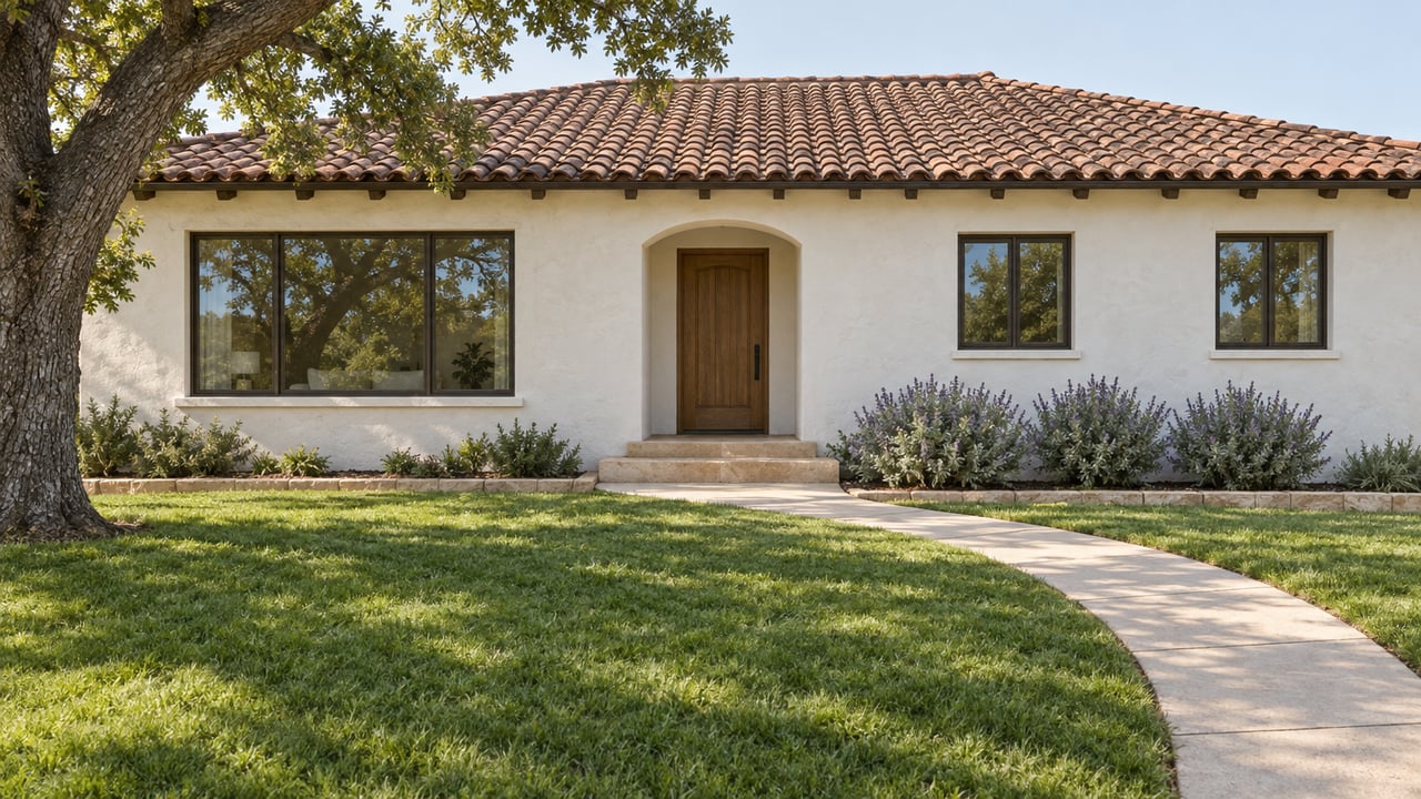
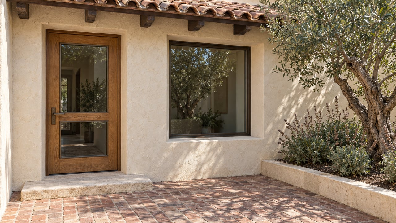
Rebuilding gave civic leaders, including preservationist Pearl Chase and the Community Arts Association she helped found, an opening they didn't waste. Rather than let State Street rebuild as a patchwork of whatever style each owner preferred, the city pushed for a unified Spanish Colonial Revival and Mediterranean look: white plaster walls, red tile roofs, wrought iron, and arched doorways. What started as earthquake recovery became the identity the entire city is now known for.
The Rules From 1925 Are Still Enforced Downtown
The look is still legally required in parts of the city today. The El Pueblo Viejo Landmark District covers two sections of downtown Santa Barbara: one wrapping the Presidio, the State Street commercial corridor, and Cabrillo Boulevard along the beach, and a second surrounding the Mission. Any exterior change to a non-contributing building inside the district has to follow "adobe, Spanish Colonial Revival, or Mediterranean tradition," per the city's own design guidelines, and the Historic Landmarks Commission signs off on it. Everywhere else downtown, the city's Architectural Board of Review reviews new construction and major remodels for the same visual consistency. Montecito enforces a similar standard on its own architectural landmarks, which is part of why the two communities read as a matched set from the street.
Local Tip: A property inside El Pueblo Viejo can look move-in ready and still require a design review before an owner repaints the trim or swaps a roof tile. It's worth checking a property's district status before assuming a renovation timeline.
Downtown Has Been Capped at Four Stories Since the 1930s
Santa Barbara's low skyline traces to a policy that also dates back to the earthquake. A 1930 zoning law limited commercial buildings to six stories and residential buildings to three, largely in response to the damage the quake caused and the construction, that same year, of the 114-foot Granada Building. Today's rules come from the city's 1972 charter: 60 feet in commercial zones, 45 feet for multi-family buildings, and 30 feet in residential zones. The Granada still stands as the tallest building downtown, grandfathered in from before the modern limits existed.
Voters have tried to tighten the cap further. A 2009 ballot measure to lower the commercial limit to 40 feet failed, though the City Council later restricted most new buildings to 45 feet unless a project earns a "Community Priority" designation from the Planning Commission. The practical effect for anyone house hunting: the low-rise skyline that keeps mountain and ocean views open from most streets isn't going away, and it's a big part of why land here holds value the way it does.
The Ocean Off Goleta Has Been Leaking Oil for 500,000 Years
The Coal Oil Point seep field, just offshore from UC Santa Barbara and the Goleta coastline, is one of the largest natural marine oil seeps in the world, and it has nothing to do with drilling. The field releases roughly 40 tons of methane and 19 tons of other hydrocarbon gases into the atmosphere daily, along with 100 to 150 barrels of liquid oil that surface naturally through the seafloor. Explorer George Vancouver documented the smell in 1792, describing water "covered with a thick, slimy substance." Geologists estimate the seeps have been active for at least 500,000 years.
This matters for anyone puzzled by tar on the sand at Butterfly Beach or along the Carpinteria coast. That residue is frequently natural seepage rather than spill residue, though the county still monitors and reports unusual accumulations. Oil production from the offshore Platform Holly did measurably reduce nearby seepage through the 1990s as reservoir pressure dropped, but the seeps themselves are geological, not industrial, in origin.
The Chumash Used That Same Tar to Waterproof Their Canoes
Centuries before anyone drilled for oil here, the Chumash were already putting the seeps to work. They built tomols, plank canoes assembled from split driftwood redwood logs, and sealed the seams with yop, a mixture of pine pitch and the natural asphaltum washing up from those same offshore seeps. A finished tomol could carry five to eight people or more than 2,000 pounds of cargo across the Santa Barbara Channel to the Channel Islands. Plank-built canoes like this were rare worldwide. Historians point to only one other culture, in southern Chile, that engineered watercraft the same way. The Chumash Maritime Association still builds and paddles tomols today, keeping a design that predates the city itself in active use.
Stearns Wharf Predates the Golden Gate Bridge by Six Decades
Stearns Wharf opened in 1872, built by lumberman John Peck Stearns to give oceangoing ships a deep-water place to dock at low tide. At 2,300 feet long and resting on 2,307 pilings, it was the longest deep-water wharf between San Pedro and San Francisco when it went up, and it remains the oldest working wooden wharf in California.
It has also survived more than its share of disasters:
- A storm-driven Chinese junk destroyed 1,000 feet of decking in 1878.
- A nearby hotel fire nearly took down the wharf in 1921.
- A pre-dawn fire gutted the Harbor Restaurant in 1973, closing that section for years during rebuilding.
- A 1998 blaze destroyed 420 feet of the outer wharf and three businesses before crews controlled it.
Anyone planning a first visit, or wondering what to do beyond the wharf itself, will find it's still the same working waterfront it was 150 years ago, just rebuilt in sections more times than most people realize.
The Largest Fig Tree in the Country Grows Steps From the Train Station
A single tree near the Amtrak station, at the corner of Chapala and Montecito Streets, is believed to be the largest Moreton Bay fig (Ficus macrophylla) in the continental United States. It grew from a seedling an Australian sailor gave to a local girl in 1876; a later owner, Adeline Crabb, moved and replanted it at its current spot. As of its last official measurement, the tree stands 80 feet tall with an average canopy spread of 176 feet and a trunk circumference of 41.5 feet. The city designated it a historic landmark in 1970 and now protects its root zone with a chain barrier sized to match the canopy above.
It isn't tucked inside a formal park, just its own fenced lot along a city sidewalk, which makes it easy to miss for anyone who isn't looking for it. Santa Barbara treats its green spaces this seriously across the board, and readers curious about the more traditional side of that commitment can see it laid out in this guide to the city's parks.
Hope Ranch Still Has No Streetlights or Sidewalks
Hope Ranch traces back to Irish rancher Thomas Hope, who acquired the land around 1861 for sheep grazing. His widow later sold 2,000 acres to Pacific Improvement Company in 1877, and developer Harold Chase organized the corporation that turned it into the residential community it is today starting in 1925. It remains an unincorporated, privately governed area with roughly 2,200 residents, its own homeowners' association, and its own patrol service that operates alongside, rather than instead of, county law enforcement.
What sets Hope Ranch apart on the ground is what it deliberately doesn't have. Roads run narrow, winding, and largely unsigned, with no streetlights and few sidewalks, by design, to preserve the rural feel the association has protected for a century. The community maintains 27 miles of riding trails, and roughly one in ten residents owns a horse, a ratio that shows in how many properties still include a barn or paddock. For buyers drawn to that setting, the surrounding Hope Ranch luxury market reflects just how much that privacy and land are worth.
Old Mission Santa Barbara Hasn't Missed a Beat Since 1786
Old Mission Santa Barbara, founded on December 4, 1786 by Father Fermín Francisco de Lasuén, earned the nickname "Queen of the Missions" and has kept it. It's the only one of California's 21 missions that has stayed under the continuous care of Franciscan friars since the day it was founded, without the interruptions of secularization that affected most of the others. The current building, the third church constructed on the site, went up in 1820 after earlier adobe structures failed, and it has since survived two major earthquakes, in 1812 and again in 1925. The Mission also maintains the oldest liturgical choral singing tradition of any mission in the state, a detail most guidebooks skip past on the way to the fountain and the rose garden out front. It remains one of the most-visited attractions in the city, for locals as much as for out-of-town guests.
What These Old Rules Mean for Anyone House Hunting Today
None of this is just trivia for anyone actually buying property here. The same design review that protects a 150-year-old fig tree also governs what a homeowner can do to a roofline downtown. The same height cap that keeps the skyline low also keeps land scarce, which keeps values high. And the same historic character that draws people to visit is a large part of why so many buyers with unlimited options still choose Santa Barbara to actually live here, whether that means Hope Ranch, downtown, or somewhere between. Anyone weighing a move should start with the basics of where to live in Santa Barbara, since these rules and quirks vary block by block.
Buyers ready to see what's currently available can start with the homes for sale or reach out through the buyers page. Kendrick Guehr and the Guehr Group have spent years working through exactly these details with buyers and sellers across Santa Barbara, Montecito, and the surrounding coast, and they're glad to walk through what a particular address means before anyone makes an offer.